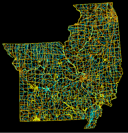
DLG or Digital Line Graph is a USGS map feature that allows maps to be represented in a digitized form. DLG maps are created from USGS standard maps are can be in small, intermediate, or large scale. These maps are used mainly for a number GIS applications. The map above is a DLG of maps of Illinois and Missouri.
No comments:
Post a Comment