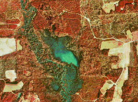
DOQQ or Digital Orthophoto Quarter-Quadrangle map are maps made by either aerial photography or satellite imagery which cover a small area of 3.75 minutes longitude and 3.75 minutes latitude. These maps are alined so that the pixels are correct with lines of longitude and latitude. This map is an infrared DOQQ of Johnston county that shows the topography of the region. Its clear that the image was taken from either a plane of a satellite.
No comments:
Post a Comment